
Black Combe - Lake District Walk
Wednesday 10th July 2013
The last time we did Black Combe the summit was hidden beneath the clouds and as a result we missed the cairn on the south top of Black Combe, today we went in search of the elusive cairn.
Start: Beckside (SD 1527 8469)
Route: Beckside - Whicham Mill - Horse Back - Black Combe - South Top of Black Combe - Black Combe - Whitecombe Head - Whitecombe Beck - Beckside
Distance: 6 miles Ascent: 589 metres Time Taken: 4 hours 20 mins
Terrain: Predominantly on clear paths.
Weather: Overcast but humid.
Pub Visited: The Manor Arms, Broughton Ale Drunk: Yates Bitter

Whicham Mill as we head for Whitecombe Valley.

Entering the valley and White Combe comes into view.

The path runs alongside Whitecombe Beck.

Looking across to White Hall Knott from the first rocky outcrop on Horse Back ridge.

Further up the ridge and our return route from Whitecombe Head is in sight.

We missed out the summit and headed for the summit tarn to find the elusive cairn on Black Combe's South Top.

Last time we were here we must have stood on this spot and because the cloud was so low couldn't find this cairn.
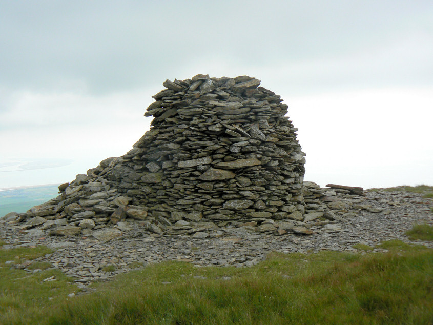
Hard to believe we could miss it but we did, despite spending a good while trying to locate it.

We had lunch by the cairn looking out across Walney Island. Sadly the black cloud that was hanging above us meant the views were limited.

We retraced our steps and headed for Black Combe's summit.

The rocky summits around Buck Barrow are easy to pick out despite the gloom.

Our route took us across the top of Whitecombe Screes.

All we needed to do now was follow the path back down Whitecombe Valley and head home.
All pictures copyright © Peak Walker 2006-2023